NRC seeking to ‘build the bench’ with stronger HR skills
On top of trying to recruit and retain HR staffing specialists, NRC also focuses on developing skills for long-term workforce planning.
 First Look
 A Federal News Network survey of 6,300 feds finds leaders’ return-to-office visions aren’t meeting reality for many employees with new in-office requirements.
How are agencies elevating the total experience, both for the public and for federal employees?
Join us April 23 and 24 at 1 p.m. ET each day for the Federal News Network CX Exchange, presented by Maximus.
Join us April 25 at 1 p.m. ET for the Federal News Network StateRAMP Exchange to see how StateRAMP continues to evolve and discover how agencies across state governments are moving to the cloud, presented by Carahsoft.
New to civil service? We created this guide to provide insights and pointers to first-time feds. Be inspired by careerists and also get pointers to make the transition to your new job as smooth as possible. (Pssst: It includes health and life insurance cheat sheets too!)
Everyone knows that Software bills of material (SBOMS) are crucial to cybersecurity. But deciphering these documents has been a challenge for many agencies.

The supplement to NIST’s digital identity guidelines could pave the way for agencies to adopt stronger multi-factor authentication methods.

Trade associations connected to federal technology, generally back the latest White House directives on artificial intelligence.

Cloud transformation starts with having buy-in from all stakeholders, says Splunk’s LaLisha Hunt. The ultimate goal? Achieving digital resilience, which makes cyber a primary focus early on as well.
You hear a lot about zero trust controls in government tech circles. Could this approach to cybersecurity be applied to protecting space assets?

The Social Security commissioner says reducing phone wait times is among his top three priorities to improve how SSA serves citizens.

GSA’s Alliant 3 contract includes an evaluation factor to encourage large businesses to meet with small firms in one of 11 emerging technology areas.


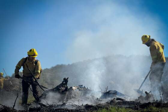
Daily photos of things happening in and around the federal government.